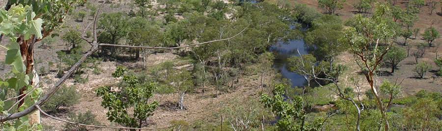
Here are the details of the methodology I used for the Millenium Project environmental assessment. There were 4 sites, with two 25/10 m transects within each site. The two transects were at either end of the site, and positioned so as to avoid fences and posts to minimise any effects of high cattle usage. In the case of the three slope sites, on the other side of the river, one transect was performed up slope and the other down slope. The two transects were offset, with one oriented along a north/south aspect and the other east/west. Within each transect 10 quadrats of 1/1m were established, in one row along the center of the transect, separated by 1.5m gaps.
Within each transect the following was recorded, GPS location taken at the back left hand corner of the transect, aspect and site orientation, slope as degrees, substrate and canopy cover. Canopy cover was assessed by you taking the inverse proportion of sky visible through a standard 30mm camera lens at a number of points within your transects and averaging these results, producing a percentage canopy cover figure.
Within each transect I also recorded various vegetation factors comprising;
Grass species present, sorted into species and growth form, ie. Perennial or decreaser grasses versus annual or increaser species. Perennial grasses tend to grow as tussocks as opposed to annuals which usually form clumps of single or multiple stems. They also have smaller, shallower root systems. A good field guide enabling you to classify grasses is Petheram and Kok. (1983) Plants of the Kimberley Region of Western Australia. University of Western Australia Press. Perth.
Number of shrubs present, identified to species level and grouped by size. Shrubs have a less than 5cm diameter at breast height. (small <1m, large >1m) Shrubs were further sorted according to regeneration strategy, often visible in the growth form of the shrub. These classifications are basal resprouter, stem resprouter, root resprouter or obligate seeder (regenerates from seed). These classifications are very simple, and a particular species may show different regeneration strategies when subject to different fire or grazing pressures. A basal resprouting plant will form a tight clump of stems, termed a coppice. A root resprouter will form a system of sprouts which follow the shape of the root system, usually some distance from the original stem. A stem resprouter will regenerate from epicormic buds on the stem and branches, forming small bunches of bright green shoots. An obligate seeder will die if burnt, but will regenerate from underground seed reserves.
Number of trees present, identified by species and grouped according to whether they were alive or dead. Further classified by height and the presence of fire scarring and termite damage.
Within each of the 10 quadrats and over both transects the following was recorded;
% vegetation cover, as <5%, 6-25%, 26-50%, 51-75%, 76-100%.
% litter cover, according to the following scale, <5%, 6-25%, 26-50%, 51-75%, 76-100%.
Substrate, as what % of each of the following classifications is represented per quadrat. Silt, sand, gravel (stones < 6cm diameter), boulder (> 6cm diameter) and bedrock.
Species present in each 1/1m square, including grasses, small and large shrubs and trees, living and dead.